Tool for automating the data collection on the technical state of facilities
- September,2020
About the Client
TMI Solutions LLC, an industrial company in George West, Texas
Problem
The outdated methods of data collection during the inspection process have resulted in low efficiency of technical building diagnostics by U.S. municipal organizations.
Task
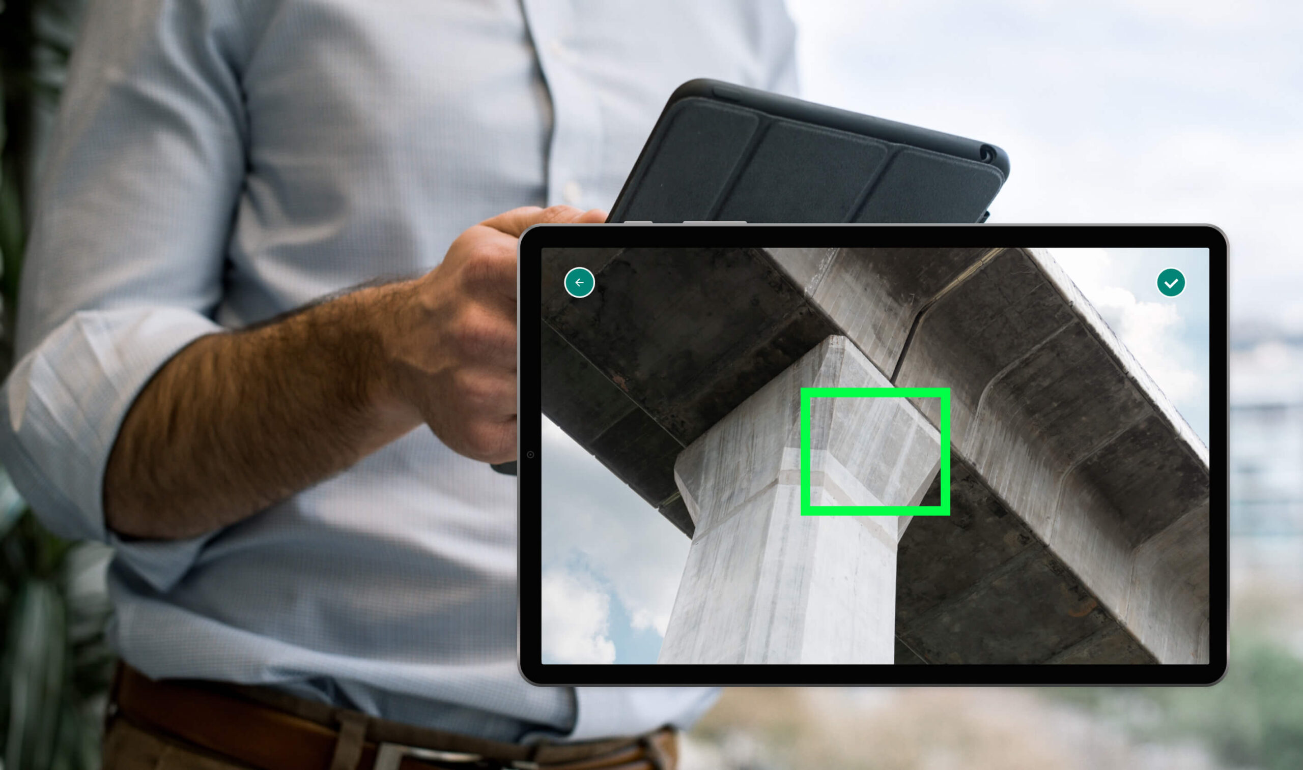
To develop a mobile application for collecting information and efficient diagnostics of technical buildings and facilities by US municipal organizations.
The client gave us a strict one-month deadline, during which we needed to develop a functioning beta version of the product for high-quality diagnostics and inspection of facilities
Research
While communicating with the customer, we researched the company’s business strategy and developed a product development trajectory..
Users
The target audience for the product is:
1) administrators who create tasks for inspections and diagnostics of facilities;
2) inspectors who perform the assessments of facilities.
Solution
We offered the client the development of an application with sophisticated algorithms for calculating the condition of a facility and its suitability for use.es.
A flexible tool, designed to meet specific industry needs, helps inspectors inspect and diagnose buildings more easily and quickly.
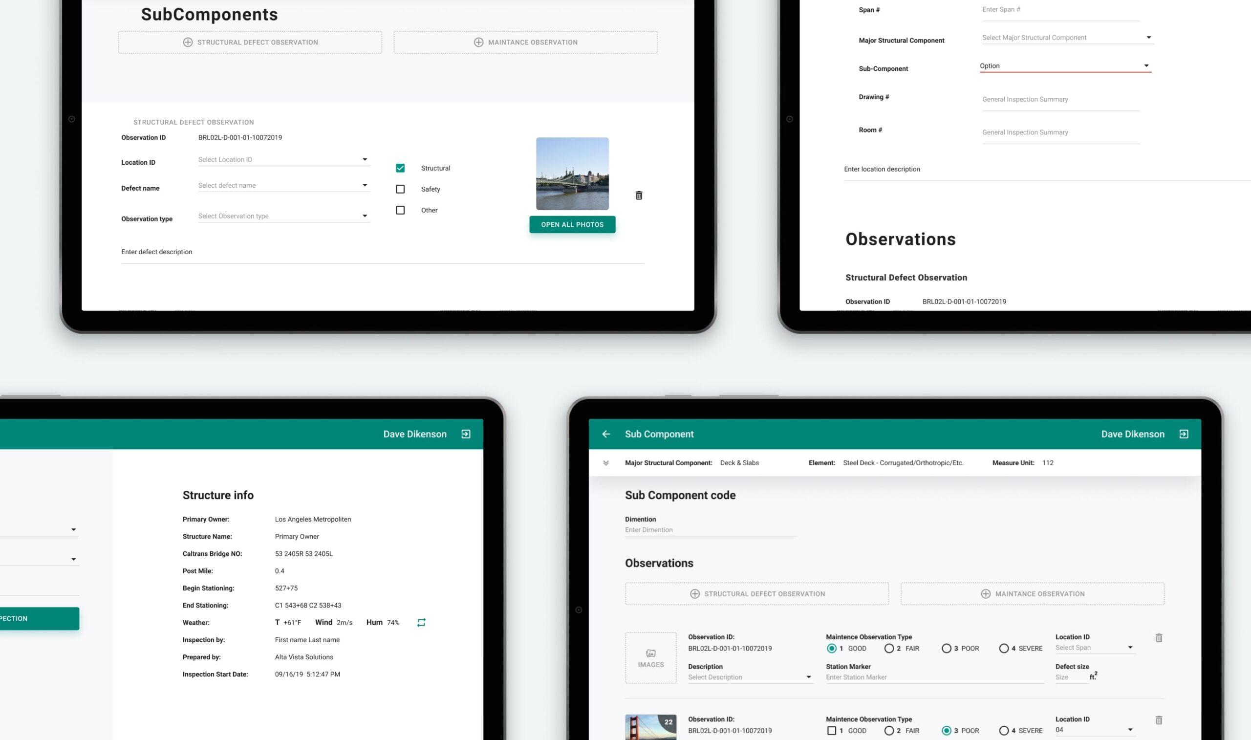
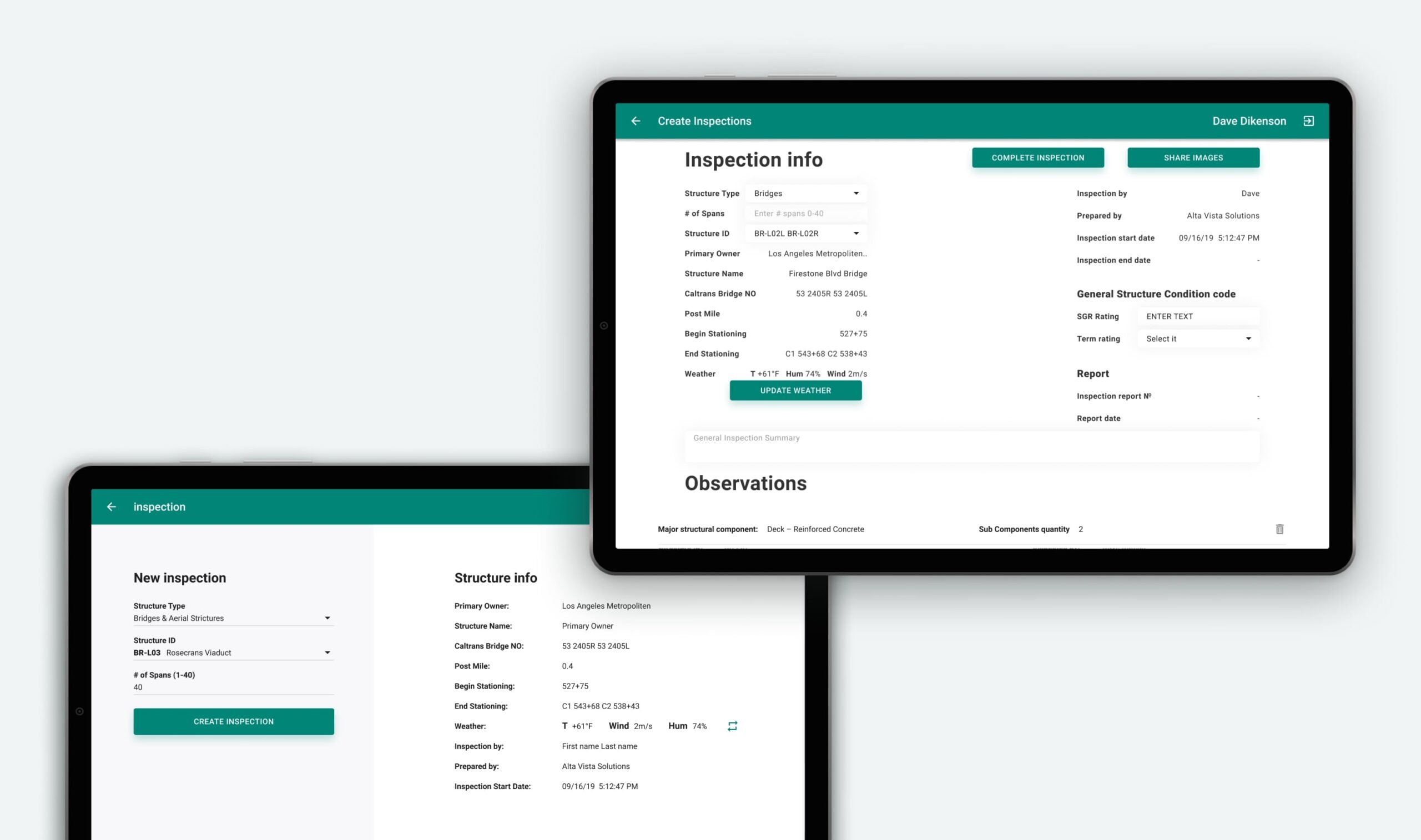
Creating a facility card
To start the work you need to add the card of the inspected facility to the database.
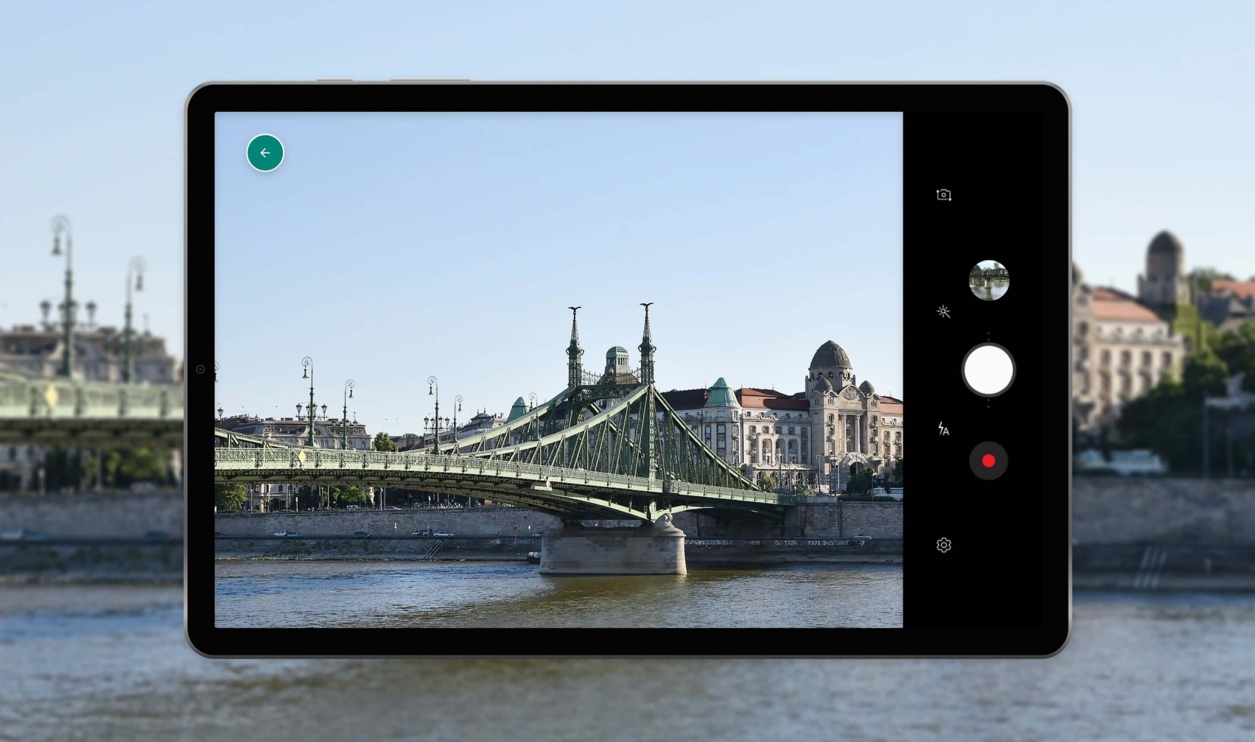
Conducting inspections with the help of drones
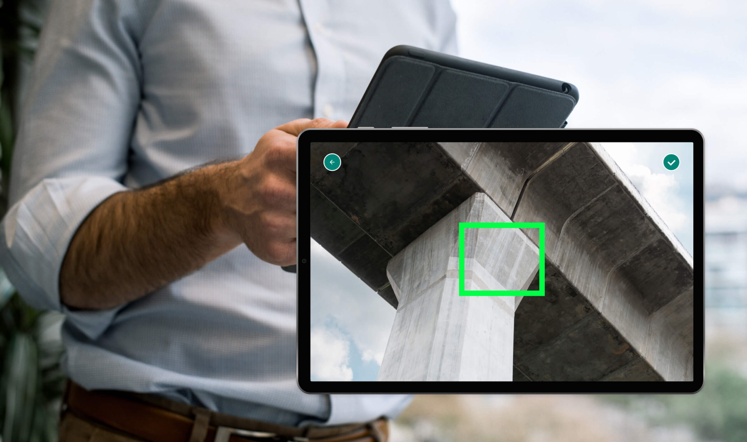
The drone operator, aka the inspector, fixes defects. Drones make it possible to inspect objects in the most inaccessible places.

Updating the Database
The cards with the defects of facilities form the basis with which the repair teams work.
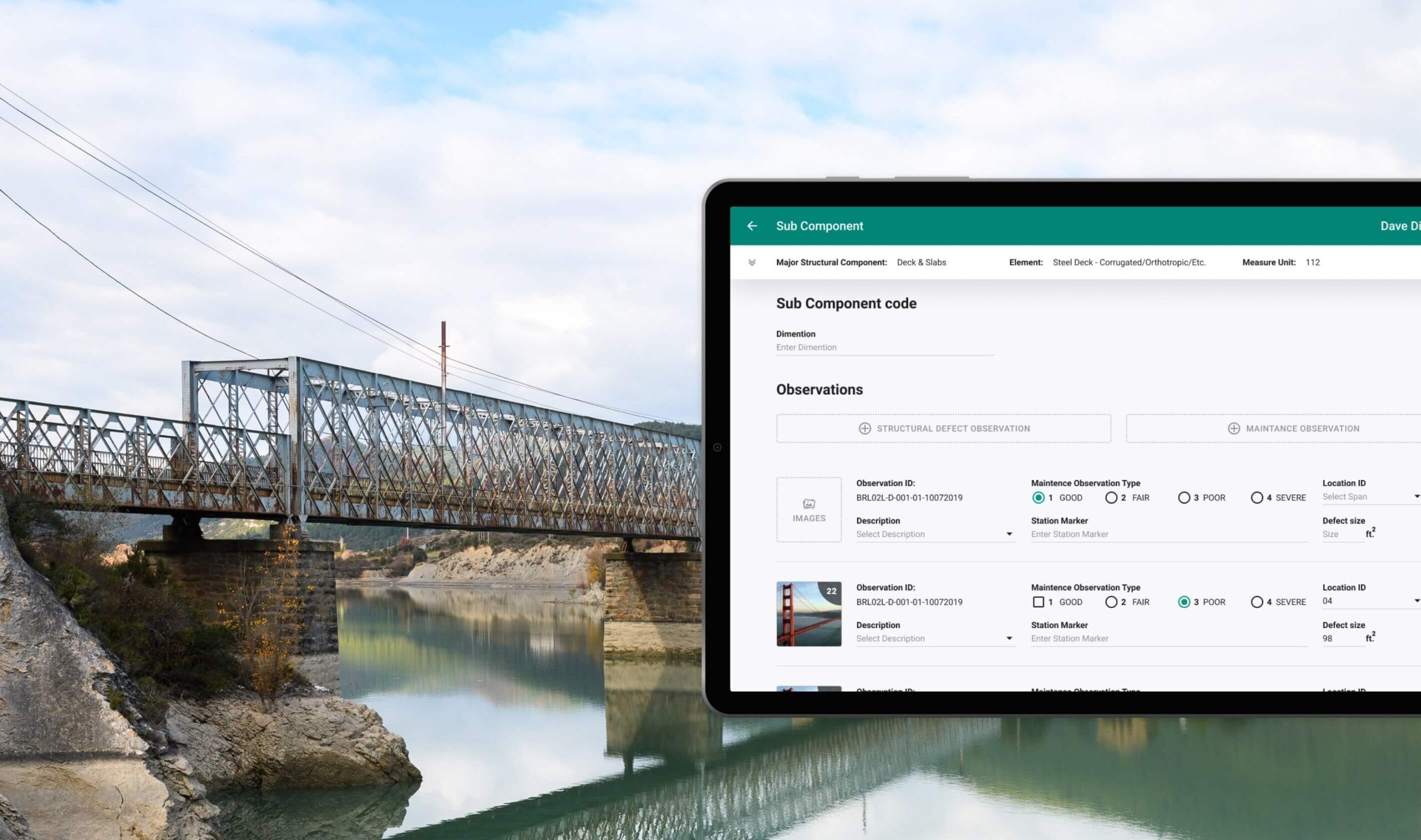
Result
We developed an application that helps inspectors collect information about the technical condition of buildings and facilities and automatically generates reports for the municipality according to accepted standards.
Conclusion
1. The app speeded up the process of generating reports on the results of the inspection twice.
2. The app increased the level of data accuracy by linking GPS and meteorological measurements at the time of report creation.
3. The trajectory of the application’s development determined the development of the client’s business strategy: from a line of products for inspecting other industries to the creation of a general aggregator of the state of the entire U.S. infrastructure.
